← Back to All Himachal Yatra

The Ultimate Top 10 Routes

Your premium geographical and road guide for the Himalayas.

01

The Tribal Circuit: Shimla to Kaza

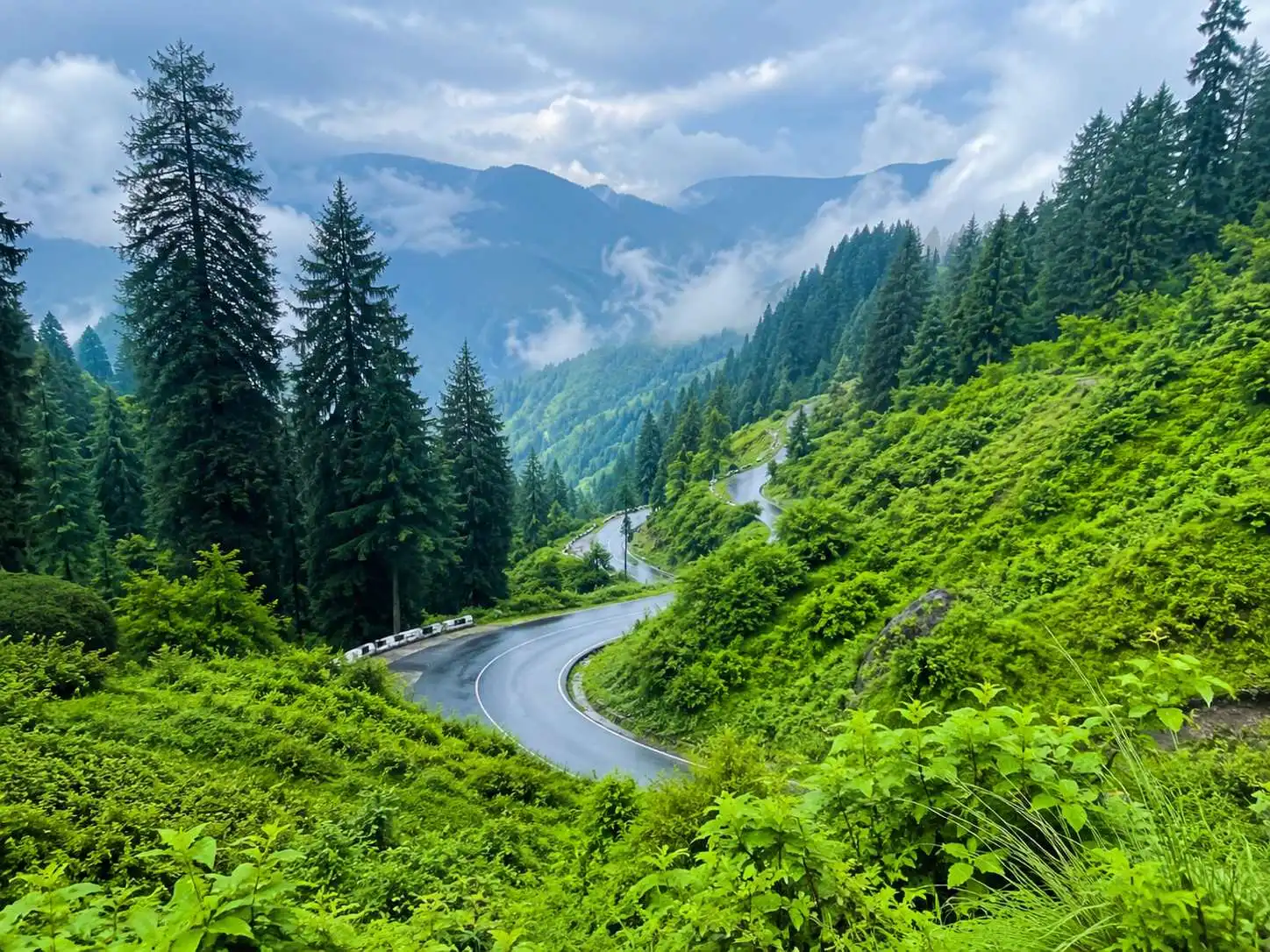
Often dubbed one of the most treacherous yet visually astounding roads in the world, the journey from Shimla to Kaza through the Kinnaur valley is the ultimate Himalayan road trip. This route serves as a gradual ascent into the high-altitude cold desert of Spiti, allowing your body to acclimatize safely.
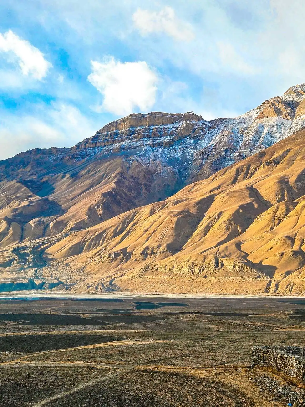
Spiti Valley Trans-Himalayan Highway via Kinnaur
  • Distance: ~410 km
  • Time: 2-3 Days (14-16 hours driving)
  • Vehicle: High-clearance SUV / 4x4 recommended
  • Best Season: Mid-May to Mid-October

Geographical Highlights & Navigation

The drive initially runs parallel to the mighty Sutlej River, tracing its deep gorges through Kinnaur. As you cross the Khab bridge and enter the Spiti region, the landscape shifts, and you will follow the course of the Spiti River. Near Kalpa, you are treated to towering, unobstructed views of the Kinner Kailash massif.

Major Checkpoints: Shimla → Narkanda → Rampur Bushahr → Karcham → Reckong Peo/Kalpa → Nako → Tabo → Kaza.

Planning to conquer this terrain?

View Our 7-Day Spiti Package
02

The High-Altitude Connection: Manali to Kaza

Considered one of the most rugged and thrilling off-road experiences in the Himalayas, the drive from Manali to Kaza cuts straight through the high-altitude cold desert of Lahaul before entering the Spiti Valley. This route is not for the faint-hearted and demands excellent driving skills.

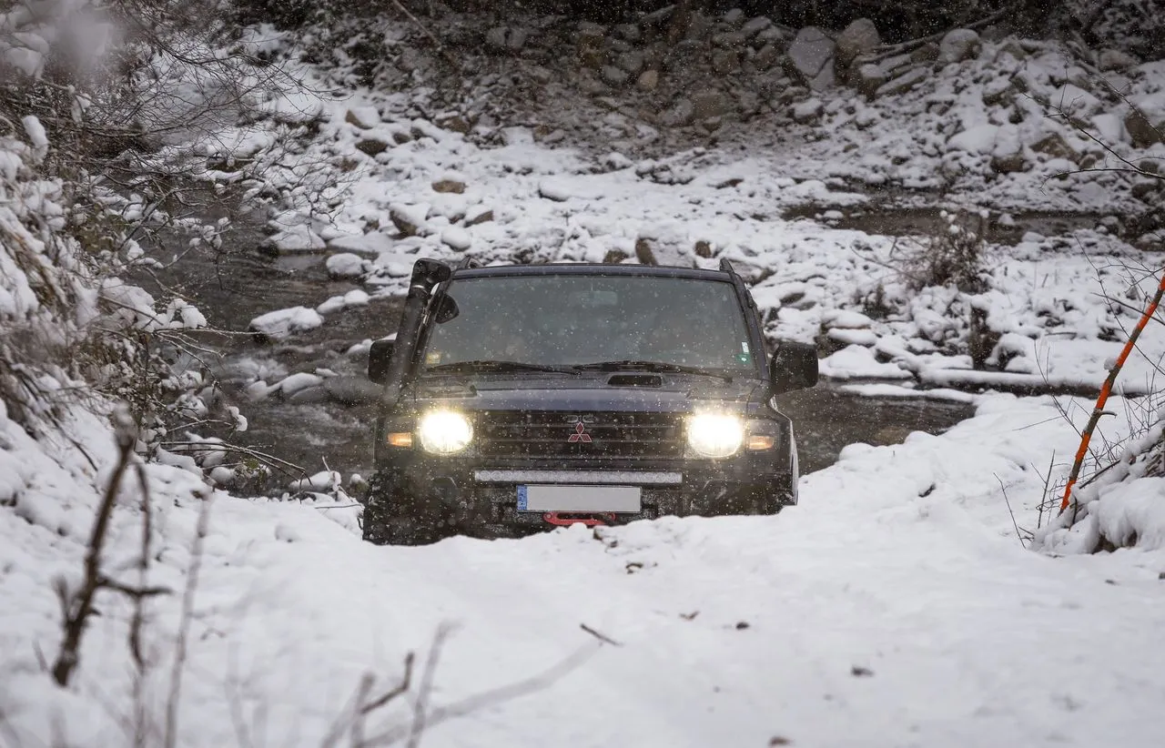
Rugged mountain pass terrain near Kunzum Pass
  • Distance: ~202 km
  • Time: 10-12 hours
  • Vehicle: 4x4 / High-clearance mandatory
  • Best Season: Mid-June to Early October

Geographical Highlights & Navigation

Navigate alongside the fierce Chandra River through the rugged stretches of Chhatru and Batal. The drive requires conquering the formidable Kunzum Pass (4,551m) to finally enter the Spiti watershed.

Major Checkpoints: Manali → Atal Tunnel / Rohtang Pass → Gramphu → Chhatru → Batal → Kunzum Pass → Losar → Kaza.

Ready for the ultimate off-road adventure?

View Our Manali-Spiti Expedition
03

The Offbeat Link: Shimla to Manali via Jalori Pass

Escaping the heavy commercial traffic of the standard NH-205, this alternative route weaves through the dense cedar forests of the Seraj Valley. It is an exceptionally scenic but technically demanding drive that connects the Shimla watershed to the Kullu Valley by crossing the formidable Jalori Pass. This path is highly preferred by driving enthusiasts and those looking to explore the pristine Tirthan Valley along the way.

Winding alpine roads through dense cedar forests of Seraj Valley
  • Distance: ~250 km
  • Time: 9-11 hours (Best split with a night in Tirthan)
  • Vehicle: Good ground clearance and hill-driving experience required
  • Best Season: March to November (Jalori Pass is often snowbound in deep winter)

Detailed Geographical Highlights & Navigation

The topography of this route is remarkably diverse, transitioning across three major river basins in a single day.

  • The Sutlej Basin Descent: Starting from Shimla, you descend sharply to the Sutlej River valley near Luhri. The elevation drops significantly, bringing a noticeable change in temperature before the steep climb begins.
  • Conquering Jalori Pass (3,120m): The ascent from Ani to the top of Jalori Pass features one of the steepest motorable gradients in Himachal. The road narrows dramatically near the village of Shoja, cutting through dense alpine forests and offering panoramic views of the Dhauladhar ranges.
  • The Tirthan Valley Descent: Crossing the pass, the road sharply descends alongside the crystal-clear, glacier-fed Tirthan River. This river strictly originates from the Great Himalayan National Park glaciers.
  • The Beas Confluence: Finally, the Tirthan River meets the mighty Beas River at Aut, where the route merges onto the standard Kullu-Manali highway, tracing the Beas upstream all the way to Manali.

Major Checkpoints: Shimla → Narkanda → Luhri → Ani → Jalori Pass → Shoja → Banjar → Aut (Tunnel) → Kullu → Manali.

Want to experience the hidden cedar forests and trout rivers?

Explore Our Tirthan Trails
04

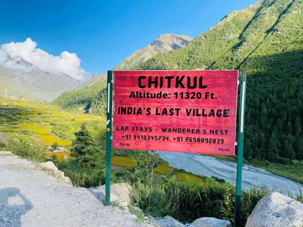
The Last Village Trail: Shimla to Chitkul

This captivating route takes you deep into the Kinnaur region, ending at Chitkul—the last inhabited village near the Indo-Tibet border. It is a visually dramatic transition from the dense apple orchards of the Shimla district to the pristine, high-altitude alpine meadows of the Baspa Valley.

The scenic last Indian village Chitkul in Baspa Valley
  • Distance: ~245 km
  • Time: 8-10 hours
  • Vehicle: Good ground clearance recommended
  • Best Season: May to October (Heavy snow blocks the valley in winter)

Detailed Geographical Highlights & Navigation

This drive showcases a dramatic shift in river systems and mountain architectures.

  • The Sutlej Gorge: The first leg of the journey closely follows the fast-flowing Sutlej River from Rampur Bushahr up to the Karcham Dam. The valley here is deep, narrow, and carved through sheer rock cliffs.
  • Entering the Baspa Valley: At Karcham, the route takes a sharp right turn, leaving the Sutlej to follow the crystal-clear Baspa River upstream. This marks the entry into the Sangla Valley, renowned for its lush green pine forests and terraced buckwheat farming.
  • The Final Ascent to Chitkul (3,450m): Driving past Sangla and Rakcham, the tree line begins to thin out. The valley widens to reveal striking glacier-capped peaks, with the river flowing through wide, rocky beds until the motorable road literally ends at Chitkul.

Major Checkpoints: Shimla → Narkanda → Rampur Bushahr → Jeori → Karcham (Turn right) → Sangla → Rakcham → Chitkul.

Dreaming of wooden houses and glacier rivers?

Explore Kinnaur Packages
05

The Classic Highway: Chandigarh to Manali

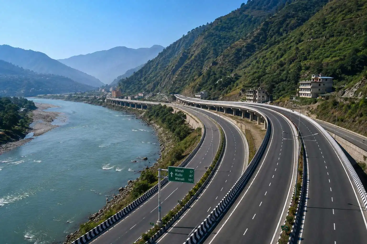
Serving as the primary arterial lifeline connecting the northern plains to the high Himalayas, this is the most frequently traveled route by tourists. Thanks to recent infrastructure upgrades, significant portions of this highway are now four-laned, dramatically reducing travel time while offering a smooth yet scenic transition into the mountains.

Modern four-lane highway cutting through the lower Himalayas along Beas River
  • Distance: ~310 km
  • Time: 8-10 hours
  • Vehicle: Any vehicle (Sedans and Hatchbacks are perfectly fine)
  • Best Season: Year-round (Caution advised during heavy July-August monsoons)

Detailed Geographical Highlights & Navigation

The journey is defined by its constant companionship with major water bodies and distinct valley formations.

  • The Shivalik Ascent: Leaving the plains, the road climbs through the lower Shivalik hills, passing the massive man-made Gobind Sagar Lake (formed by the Bhakra Dam) near Bilaspur.
  • The Beas River Companion: The true mountain driving experience begins from Mandi. Here, the road aligns with the roaring Beas River. You will cross the Pandoh Dam, where the river's turquoise waters are briefly held back before plunging through deep gorges.
  • The Kullu Valley Stretch: After passing through the 3-kilometer-long Aut Tunnel, the gorge suddenly opens up into the wide, flat Kullu Valley. The drive from Bhuntar to Manali runs right along the riverbank, flanked by towering pine forests and apple orchards on both sides.

Major Checkpoints: Chandigarh → Kiratpur Sahib → Bilaspur → Sundernagar → Mandi → Aut → Kullu → Manali.

Looking for a premium stay after the long drive?

View Celestial Manali Packages
06

The Dhauladhar Drive: Pathankot to Dalhousie & Khajjiar

A classic weekend getaway route that quickly elevates you from the plains of Punjab into the dense, dark pine and deodar forests of the Chamba district. This drive offers some of the most accessible yet stunning views of the snow-capped Pir Panjal and Dhauladhar mountain ranges.

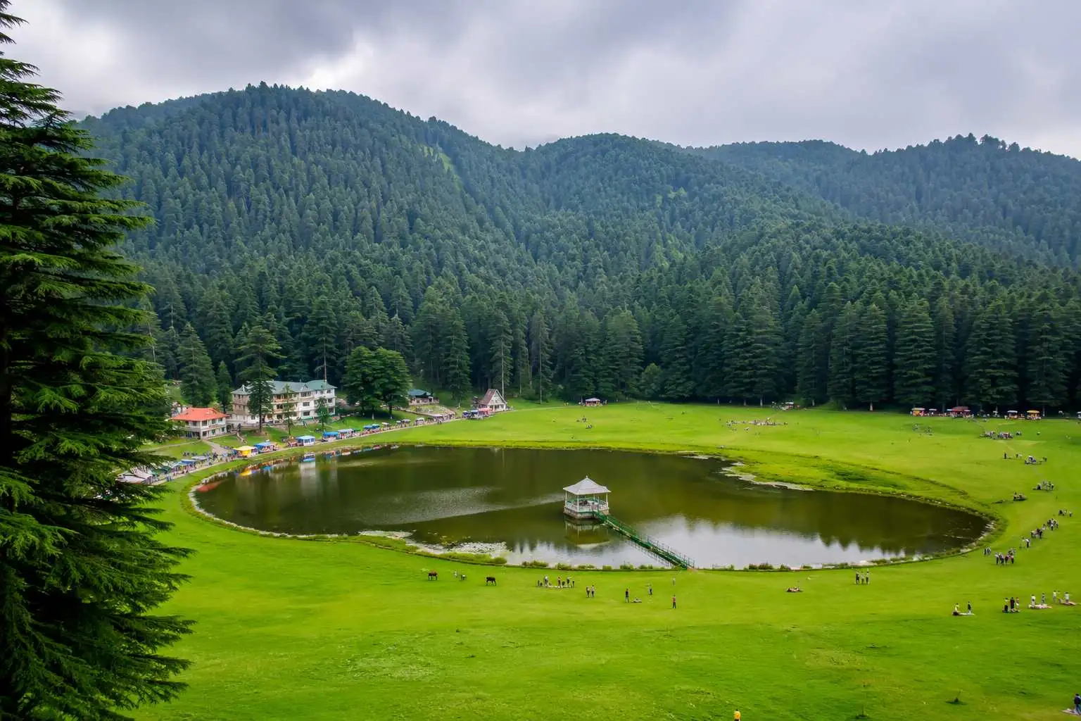
Lush green saucer shaped alpine meadow of Khajjiar
  • Distance: ~120 km (up to Khajjiar)
  • Time: 4-5 hours
  • Vehicle: Any vehicle (Easy gradients)
  • Best Season: March to June & September to December

Detailed Geographical Highlights & Navigation

This relatively short drive packs a rapid gain in altitude and a complete change in regional flora.

  • The Chakki River Crossing: Starting from Pathankot, you almost immediately cross the Chakki riverbed, marking your entry into the hilly terrain of Himachal Pradesh at the Tunnuhatti toll barrier.
  • The Pine Forest Ascent: From Banikhet onwards, the road winds up sharply through thick pine forests. The temperature drops noticeably as you approach Dalhousie (1,970m), a town spread across five distinct hills (Kathlog, Potreyn, Terah, Bakrota, and Bhangora).
  • The Khajjiar Glade: The final leg from Dalhousie to Khajjiar takes you through the Kalatop Wildlife Sanctuary. The narrow road weaves through ancient, towering Deodar trees before suddenly opening up into the saucer-shaped alpine meadow of Khajjiar, complete with its central lake.

Major Checkpoints: Pathankot → Dunera → Banikhet → Dalhousie → Kalatop Forest → Khajjiar.

Planning a relaxing weekend retreat in the pines?

Explore Dalhousie Packages
07

The Kangra Tea Route: Dharamshala to Bir Billing

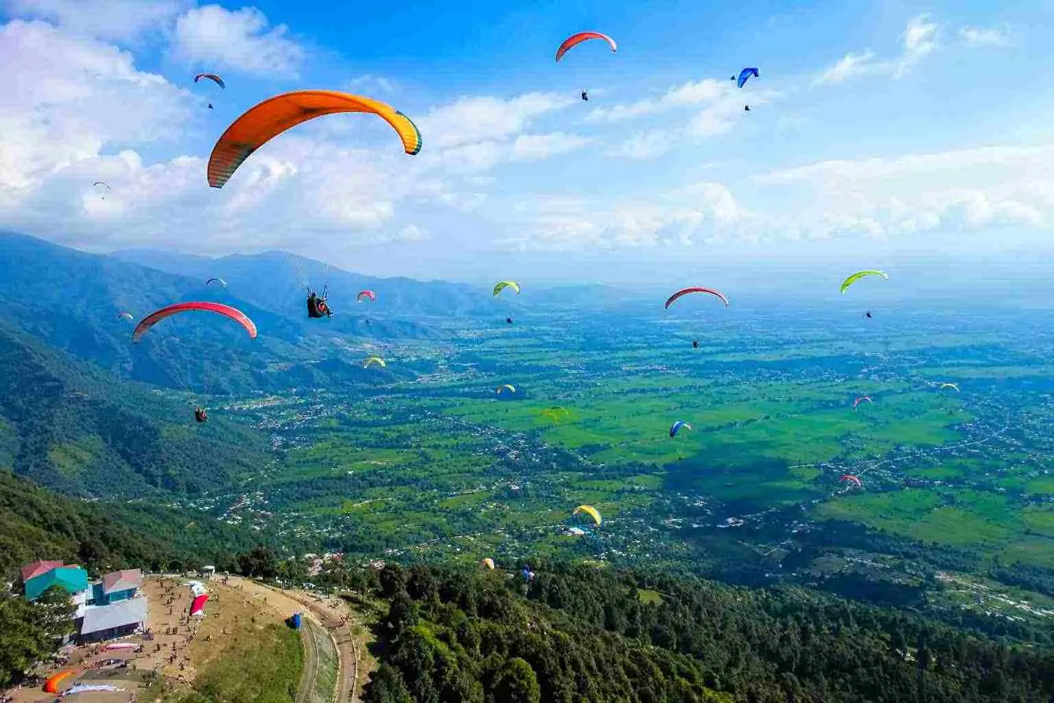
A deeply scenic and spiritually rich drive through the heart of the Kangra Valley. This route is favored by travelers seeking lush landscapes, ancient temple architecture, and world-class adventure sports. You will drive parallel to the mighty Dhauladhar mountains, passing through terraced tea estates before ending at Asia's highest paragliding site.

Paragliders soaring high above the Kangra tea valley in Bir Billing
  • Distance: ~75 km
  • Time: 2.5 - 3 hours
  • Vehicle: Any vehicle
  • Best Season: October to June (Perfect for paragliding)

Detailed Geographical Highlights & Navigation

Unlike the deep gorges of Spiti or Kinnaur, this route offers wide, open valley views with a massive mountain wall right beside you.

  • The Dhauladhar Backdrop: From Dharamshala to Palampur, the road runs almost perfectly parallel to the sheer rock faces of the Dhauladhar Range. On clear days, the snow-capped peaks feel incredibly close.
  • The Palampur Tea Estates: Crossing the Neugal Khad (a wide mountain stream), you enter Palampur. The terrain here is defined by sprawling green tea gardens intersected by multiple small water channels originating from the glaciers above.
  • The Billing Ascent: While the drive up to the Tibetan colony of Bir is mostly flat, the final 14-kilometer stretch from Bir to Billing (2,400m) is a steep, winding ascent through dense oak and rhododendron forests, leading up to the cliff-edge paragliding takeoff point.

Major Checkpoints: Dharamshala → Chamunda → Palampur → Baijnath → Bir → Billing.

Want to fly over the Kangra Valley?

View Bir Billing Adventures
08

The Weekend Adventure: Mandi to Prashar Lake

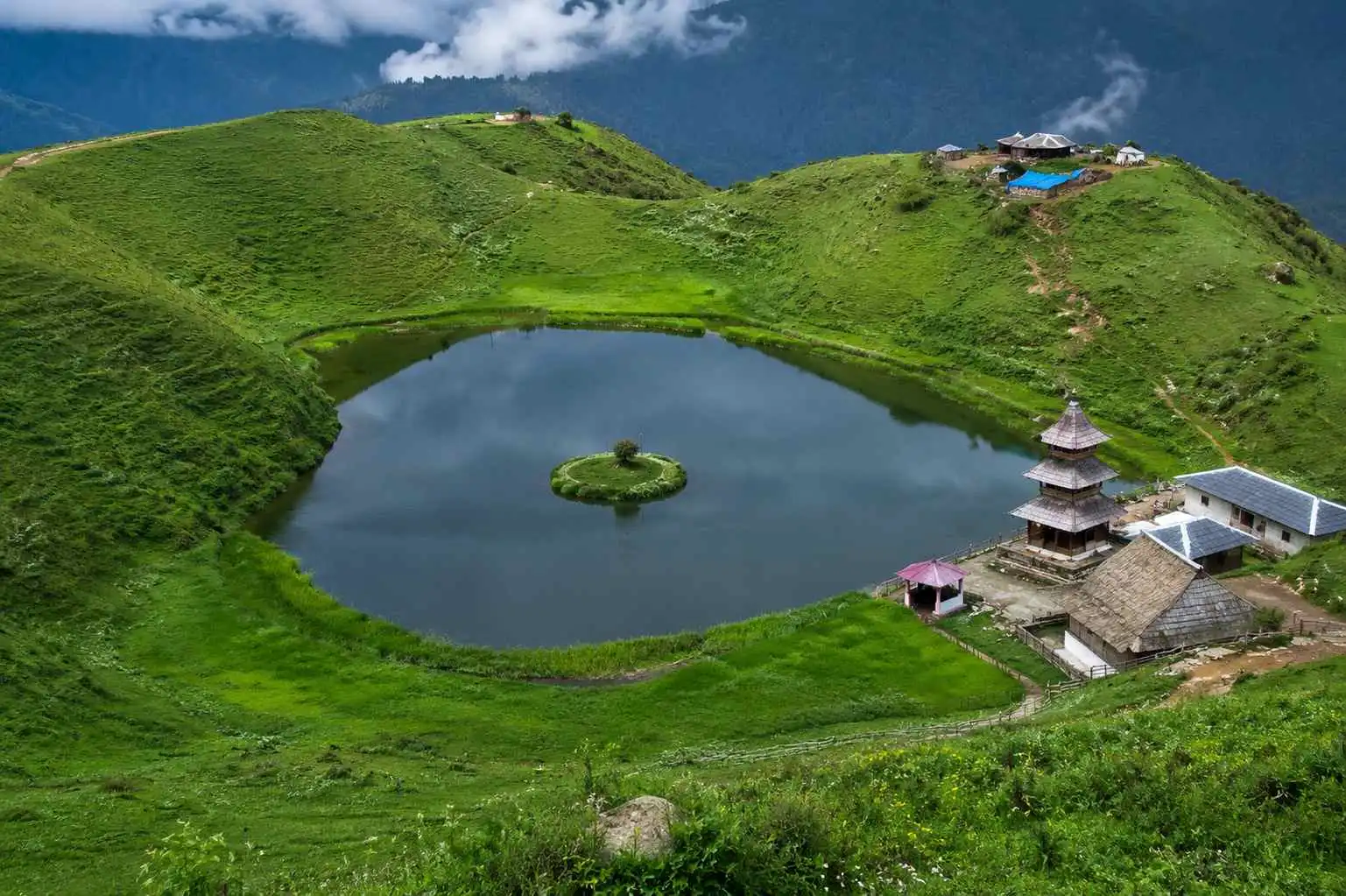
A steep, offbeat climb rising dramatically from the Beas river valley, leading up to a mystical high-altitude lake. Known for its mysterious floating island and the 13th-century pagoda-style temple dedicated to Sage Prashar, this route is a favorite for short weekend road trips and camping enthusiasts.

Mystical high-altitude Prashar lake with its floating island and pagoda temple
  • Distance: ~50 km (from Mandi)
  • Time: 2.5 - 3 hours
  • Vehicle: High ground clearance preferred (The last few kilometers are bumpy dirt tracks)
  • Best Season: April to November (Heavy winter snow blocks vehicles; trekking is required)

Detailed Geographical Highlights & Navigation

This route is essentially one continuous, steep ascent that takes you from a bustling town straight into a quiet alpine bowl.

  • The Beas River Departure: Starting from Mandi, you cross the mighty Beas River and immediately leave the highway traffic behind, entering the narrow, winding local hill roads.
  • The Forested Climb: Driving past Kataula and Bagi, the gradient becomes consistently steep. The road narrows significantly, cutting through dense cedar (deodar) and rhododendron forests. Drivers need to be cautious of oncoming vehicles on these blind curves.
  • The Alpine Meadow: Reaching the summit at 2,730 meters, the dense forest suddenly opens up into a massive, lush green bowl-shaped meadow. The deep blue lake sits perfectly in the center, offering 180-degree panoramic views of the Pir Panjal, Dhauladhar, and Kinnaur mountain ranges.

Major Checkpoints: Mandi → Kataula → Bagi → Prashar Lake.

Looking for a weekend camping trip under the stars?

Explore Prashar Lake Camps
09

The Trans-Himalayan Gateway: Manali to Jispa

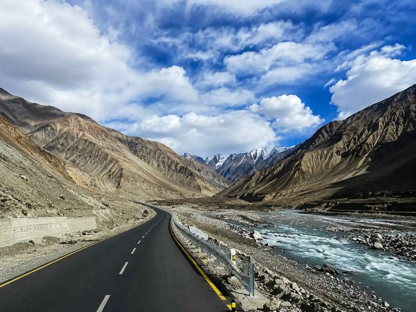
This route marks the majestic beginning of the legendary Manali-Leh Highway. It serves as the perfect transition from the lush, green Kullu Valley into the stark, high-altitude arid landscapes of Lahaul, making it an essential overnight acclimatization stop before tackling the higher passes to Ladakh.

The transition into barren arid landscapes of Lahaul Valley past Atal Tunnel
  • Distance: ~140 km (via Atal Tunnel)
  • Time: 4-5 hours
  • Vehicle: Good ground clearance recommended
  • Best Season: May to October

Detailed Geographical Highlights & Navigation

A drive of stark contrasts, taking you through an engineering marvel and along ancient glacial riverbeds.

  • The Atal Tunnel Bypass: Leaving Manali, the route now bypasses the unpredictable Rohtang Pass by taking the 9.02 km long Atal Tunnel. You enter the tunnel surrounded by green pines and exit into the barren, rocky expanse of the Lahaul Valley.
  • The Chandra-Bhaga Meeting Point: At Tandi, you witness the spectacular confluence of two major glacial rivers: the Chandra (coming from Spiti) and the Bhaga (coming from Suraj Tal). Together, they form the mighty Chenab River.
  • Following the Bhaga Upstream: From Keylong to Jispa, the road traces the Bhaga River upstream. The valley floor is dotted with sparse willow trees and riverbed campsites, with towering, bare peaks standing guard on both sides.

Major Checkpoints: Manali → Solang Valley → Atal Tunnel → Sissu → Tandi → Keylong → Jispa.

Ready to embark on the Leh highway?

View Lahaul Expedition Packages
10

The Extreme Frontier: Chamba to Pangi via Sach Pass

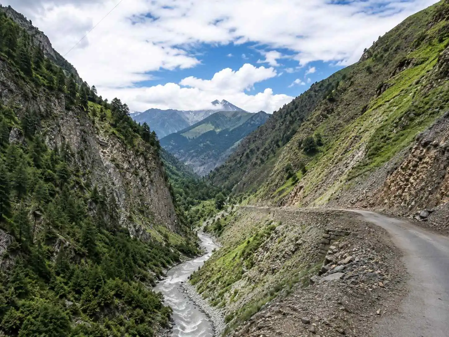
The undisputed king of thrilling and dangerous roads in Himachal Pradesh. Connecting the Chamba Valley to the remote, tribal Pangi Valley, this route is strictly for hardcore off-roaders and adventure seekers. It cuts right through the mighty Pir Panjal range and remains buried under massive snow for most of the year.

Extreme off road cliffhanger tracks leading to the remote Pangi Valley over Sach Pass
  • Distance: ~170 km
  • Time: 10-12 hours (The speed drops to barely 10-15 km/h on rocks)
  • Vehicle: 4x4 with high clearance is strictly mandatory
  • Best Season: Mid-July to early October

Detailed Geographical Highlights & Navigation

This drive tests the limits of both the machine and the driver with its brutal gradients and cliff-hanger drops.

  • The Ravi River Departure: Starting from Chamba, you leave the wide basin of the Ravi River and begin a relentless, winding climb towards the treacherous Pir Panjal mountains.
  • Conquering Sach Pass (4,414m): Past the Bairagarh check-post, the tarmac disappears entirely. The ascent to the pass is a bone-rattling dirt track. Even in the middle of summer, you will often drive between towering snow walls at the summit.
  • The Chenab Gorge Descent: Crossing the pass, you enter the isolated Pangi Valley. The road descends sharply via extreme hairpin bends to meet the fierce Chenab River (Chandrabhaga), leading you to the cliff-hanging town of Killar.

Major Checkpoints: Chamba → Tissa → Bairagarh → Satrundi → Sach Pass → Bagotu → Killar.

Seeking the ultimate off-road Himalayan expedition?

Explore Pangi Adventures